Showing posts with label Wellington. Show all posts

Sunday, March 31, 2013

Battle of Sabugal


After my quick tour of Almeida, I hit the road for Sabugal.  I had read a detailed account of this action in Mark Urban's splendid book "Rifles", and the location was just off my route southwest to Coimbra and the battlefield of Bussaco.

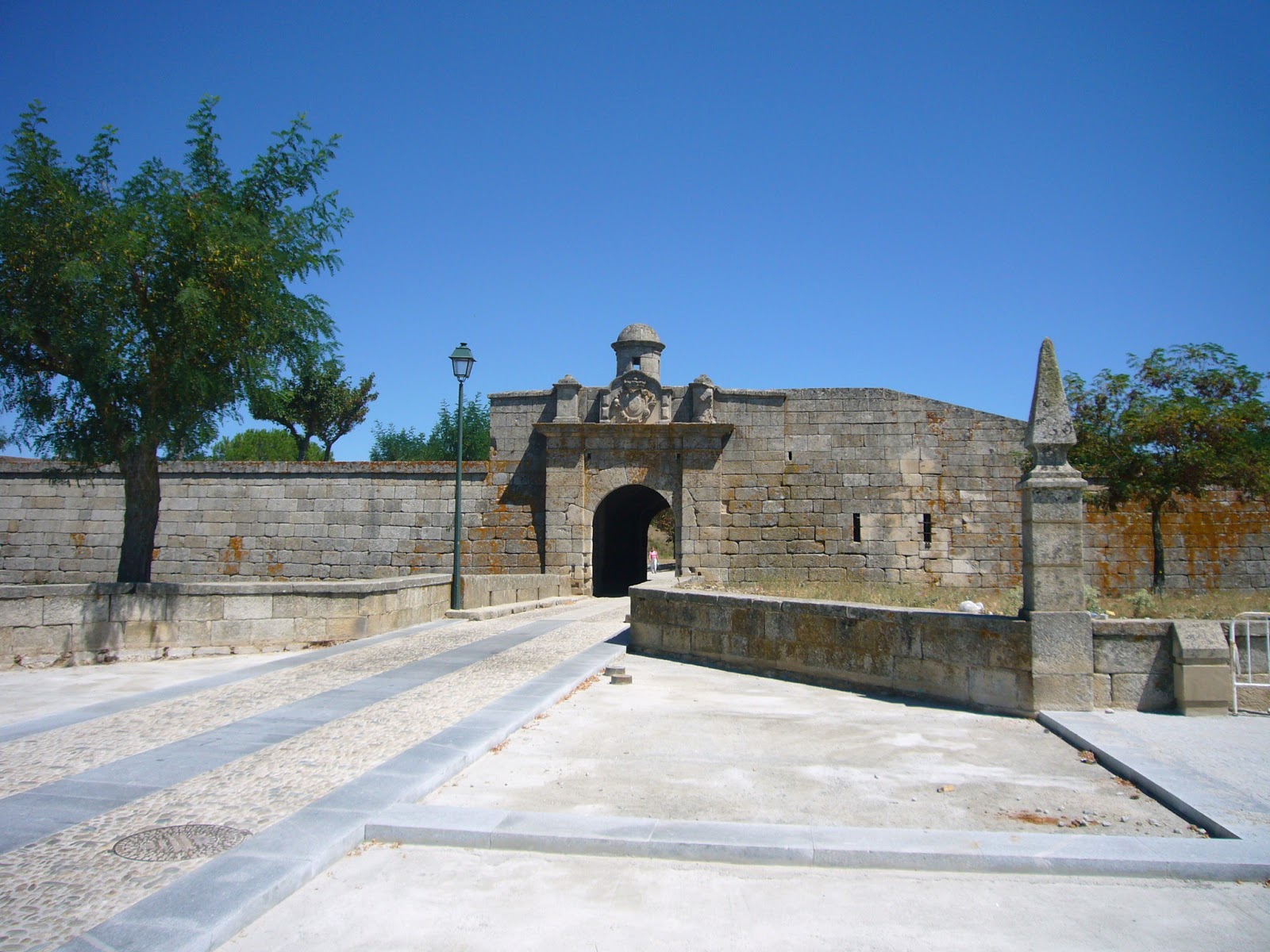
Sabugal is a quaint little town in a bend of the River Coa, with an old Moorish castle, and small baroque citadel, surrounded by wooded hills. All very nice, but a sign or some directions indicating where the battle was? - none! I drove around for about 40 minutes trying to work out the location of the battle from an old map, but no luck. Eventually a quick stop in a café/bookshop/museum by the castle got results. 


The shop was partly dedicated to (and possibly run by) the local Jewish community who had survived hidden with false identities for hundreds of years, praying in secret whilst outwardly pretending to be Christian. Anyway, the people I met were extremely friendly and helpful; real ambassadors for their town and region.


On a shelf in the shop was a small display of buttons and musket balls, and one cannon ball. When I asked the owner where she got the cannonball, she replied that she had found it herself, and more importantly at the site of the battle, and that she had arranged two years before for a small commemoration memorial to be built there. So instructions in hand I made my way out to the battlefield.


To get there, you have to drive out the main road Southeast from Sabugal to Quadrazais. When you reach the outskirts of Sabugal you will see a sign on the right pointing to Teixedas; take this turn. 


The road is basically a metalled track, so if the road looks dodgy, then you know you are going in the right direction. Follow the track for about 1.5 km past a few houses and farmhouses and then through a small forest. 


The memorial to the battle field should be at a small T junction, just as you come out of a copse of trees. In the background you should see a large resevoir, which is a dammed section of the Coa (and where the Light Division crossed and ascended the hill to meet the French).


The battlefield doesn’t seem to have changed that much, though as mentioned, the river Coa is now a dammed lake in this part, so it’s hard to tell what the original crossing point would have looked like (obviously a lot lower down than the current water’s edge). The land is partly farmed and partly forested, though I am not certain of much forestation there was in 1811 (for example, the hill at Bussaco, which is heavily wooded now, was completely bare of trees at the time of the battle).

Looking across the line of the French position.
 

Looking from the French lines down towatds the River Coa. This was the ground the Light Division had to cover during their attack (or as they blundered into the French during the early morning fog).
 

I drove down to where the Coa would have flowed, and you can see that it is a long open climb up to where the French positions would have been. If open at the time this would have been a long bloody walk. 
 

Looking up to the memorial from near the river.

As it is, the hill is deceptively steep. If the French had been fully deployed when the Light division encountered them, then Beckwith's Brigade of the Light division would have been in trouble (though such an engagement/sacrifice may have enabled the main British Force to bag the Reynier's men). As it was, beckwith's Brigade found itself hanging on against odds of 5 to 1. Only the eventual crossing of the Coa of the Drummonds Brigade, and emerging on the right of Beckwith held the day, in addition to reynier catching sight of Wellington's main force making its way through Sabugal, and wisely ordering a general retreat before he was trapped.


The Coa today in this part is now dammed, creating a partly flooded valley. The original ford is probably somewhere in the mid-distance in this photograph.


Apart from the higher level of the River Coa, the land is largely unchanged. There is nothing in the way of any interpretaion of the battle at the site apart from a small brass plaque. Still it is worth a visit and is an easy day trip from Ciudad Rodrigo.


Thursday, February 28, 2013

Almeida

The fortress of of Almeida is perched high on a plateau over the Coa river, guarding the main road from northern Spain. like it's sister Elvas in the south, these fortresses were constructed soon after Portugal regained it's independence from Spain in the mid 17th century. An investment to make sure that affairs stayed that way.The same facts on the ground applied once you threw Napoleon and the French into the mix 150 years later, so that the two corridors (Almeida-Ciudad Rodrigo and Elvas-Badajoz) became the scene of some of the major battles and sieges of the Peninsular War

As with most of this region, both sides of the Spanish-Portuguese border  is made up of poor farmland, small villages and allot of dry stone walls. Above you can see the road leading up to Almeida after the short drive from Fuentes de Onoro, through the border post at Vilar Formoso. You can just make out the Glacis surrounding the fortress.

  
The fortress was the scene of two sieges during the peninsular War, the first in 1810 when it blocked Massena's path during the Third French invasion of Portugal. During the siege a "lucky" French shell landed in the main magazine sited in the medieval fort in the centre of town. The ensuing explosion, knocked a few gaps in the southern rampart as well as killing and injuring about 500 people, and flattening most of the town. The fortress surrendered soon afterwards, and Massena continued his march south to be finally stopped at Bussaco. The second siege was in 1811 with the roles reversed. This time though there was no explosion, and the French garrison actually sneaked past the British pickets during the night and made their escape. Very close to Almeida is the river Coa, where Craufurd's Light Division had a lucky escape after coming up against the main body of the French Army.


Now for all these blogs, one cannot really manage to talk to the veterans, at least not without holding hands around a table late at night... So for any appreciation of the various battlefields and fortresses I've rambled over, I've relied on a variety of different accounts, some drawn from eye witness accounts, others on secondary sources, and so try to get a balanced view of what happened (e.g. Oman is thorough, but I'm not sure he really understood what was happening in half the battles he covered. Seems to have applied an insight in to Naval tactics when looking at the battles - the Thin British red line, crossing the French "T"). More importantly, when you actually walk the terrain, you can add your own personal insight, appreciating the lie of the land, and get a feeling of what must have been going on in the minds of both the commanders, and the rank-and-file during battle. The source of books on the period is endless, but above you can see some of my reference material (thank you e-bay).

Almeida today is in fairly good nick, well preserved, and pretty much has the feeling of an open-air museum. I'm not sure if many people still live within it's walls, but it was bustling with a market the day I passed through.

 Below you can see the main inner gate.


 Inside the walls
 The main square.

 Looking south to the sections of the ramparts that were damaged in the 1810 explosion
 
 You can still see some of the damage at the back of the Ravelin below.
Here you can see the remains of the medieval castle (which was the arsenal/gun powder store) which disintegrated during the first French siege. This was the magazine was housed that was hit by the stray French shell. The foundations are still clear, and the it looks like somebody cut the top of the building off with a hot knife. Apparently it looks little changed since the time of the explosion.
You can still see in other sections of the fortress not touched by the explosion how impressive the defences are. In most respects it is a classic Vauban like fortress.
The town is worth a visit, but you’ll need a car (actually, you’ll pretty much need a car to visit most of the sites listed). The small town within the walls, that again, like Ciudad Rodrigo, is largely untouched since the Napoleonic period (apart from the rebuilding after 1810). There is also a small military museum which I was told is supposed to be very good (as related to me by the curator of the Museum in Vimeiro).It was closed during my visit.
Driving out of Almeida on the way to Sabugal, the new road passes by the original bridge over the Coa, which was the site of the Light Division’s rapid retreat after nearly being trapped with the river at their backs.
The landscape here is really wild, barren and rocky; actually perfect light infantry country. Unfortunately you can’t stop at this point in the main road, so no chance for a photo, so here is one borrowed from the Internet :-) (Thanks to the Napoleon Series if they don't mind. I will remove it if it is copyrighted)